
Earth observation satellites operated by the European Space Agency (ESA) are actively monitoring an alarming surge of extreme heatwaves, severe droughts, and destructive wildfires across Europe and the globe in June 2026. According to the Copernicus Climate Change Service, June 2026 ranked as the second-warmest June globally, while Western Europe recorded its warmest June in history, creating optimal environmental conditions for widespread blazes.
The Satellite Monitoring Network in Action
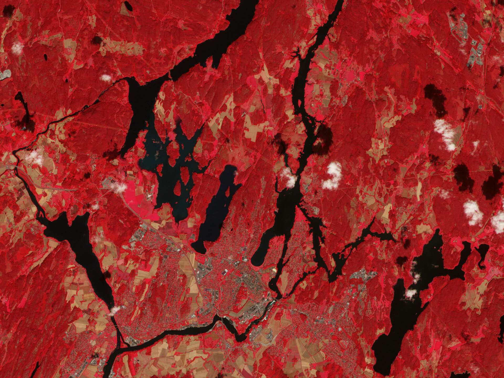
Advanced space missions, including the Copernicus Sentinel-2 and Copernicus Sentinel-3 satellites, are providing crucial, real-time data to track environmental degradation. Since May 1, 2026, the Copernicus Emergency Management Service (CEMS) has activated more than 30 times to deliver high-resolution images and critical mapping data regarding wildfires spanning Croatia, France, Germany, Greece, Greenland, Italy, Poland, Portugal, Spain, Tunisia, and the UK. Instruments such as the Ocean Land and Colour Instrument (OLCI) and the Sea and Land Surface Temperature Radiometer (SLSTR) accurately measure land and ocean temperatures.
Environmental Impact and Trace Gas Emissions
The convergence of high temperatures, strong winds, soil moisture depletion, and a lack of rain has fueled devastating fires triggered by both natural causes like lightning and human activities such as discarded cigarettes. Scientists estimate that up to 35% of greenhouse gases originate from the burning of organic matter across forests, scrublands, and grasslands. Specialized missions like Copernicus Sentinel-5P measure trace gases and aerosols that heavily impact regional air quality, while ESA’s EarthCARE satellite utilizes its advanced lidar and multispectral imager to successfully detect active wildfires and characterize smoke emissions.